You might also like:
Using Your Smartphone GPS for Hiking
Travel Tips
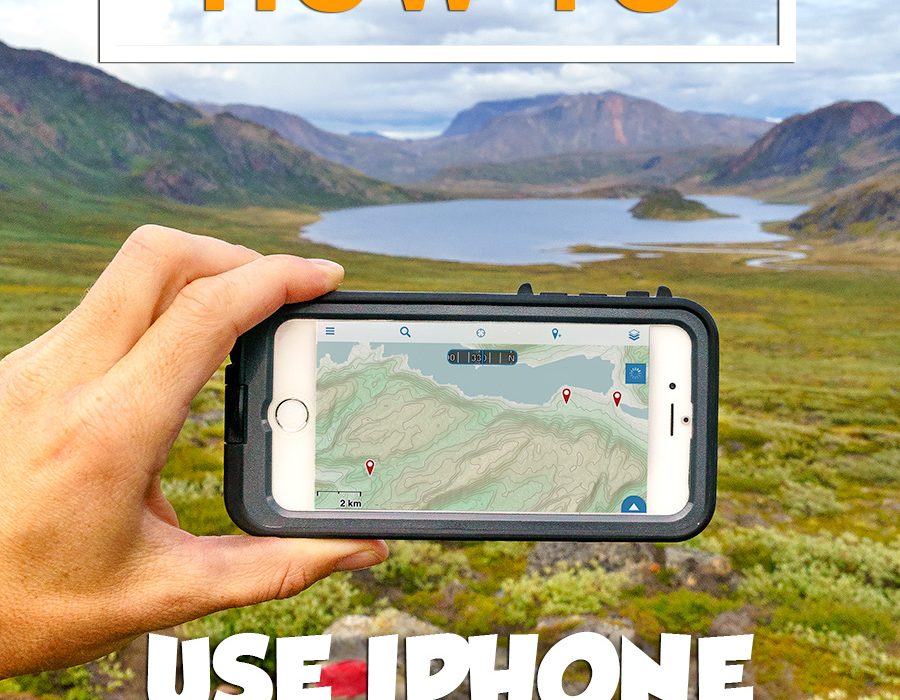
Would you be surprised if I told you my favorite piece of backpacking gear is my smartphone? I love using my iPhone’s GPS for hiking in the wilderness.
If you’ve been following me on .
This amazing app allows hikers to pre-download different types of maps from around the world for use with your iPhone’s GPS. You can also record altitude, speed, leave waypoints, create tracks, and produce all sorts of other detailed information about your backcountry trips.
Better Than Dedicated GPS Unit?
Why spend hundreds of dollars on a dedicated GPS device for hiking when you can get the same functionality with a $20 app for your smartphone?
Using your phone as a GPS unit saves you money, reduces the amount of weight you pack, and serves multiple purposes (photos, journal, notes, etc.).
It’s a wonderful backup to have along with paper maps, and can save your butt if you happen to lose the trail or get caught in bad weather.
Both have happened to me a few times, and whipping out your phone is far easier than attempting to use regular maps during a raging storm!

Pre-Downloading a Section of Map
Gaia GPS Settings
To get the most out of Gaia GPS, there are few settings you need to be aware of. First, there are many different map layers you can use within the app. The two I use most often are the Open Hiking Map and Google’s satellite view called Imagery + Roads.
These are probably the best maps for hiking. The Open Hiking Map includes basic topographical features along with known hiking trails, while Satellite Imagery gives you a better picture of the landscape.
If hiking somewhere without cell service, make sure to pre-download sections of the map that cover the area where you’ll be.
Pre-downloading maps is explained in the YouTube tutorial below.
Gaia GPS also allows you to record tracks as you hike, but don’t do this unless you have a specific need, because it drains battery life and requires the phone to be powered on the whole time.
Close the Gaia app after each use (double tap the home button and swipe the app up to close). This prevents Gaia from continually updating your location. Turn the phone off to further reduce battery drain.

Hiking in Norway with the LifeProof FRĒ Power
Protecting Your Phone
As you might already know, I’m a huge fan of the water & shock-proof smartphone cases from for iPhone | Android
Total Cost: $19.99 USD
Useful Notes: Gaia GPS is a pretty big application with many features. You’ll want to set aside at least an hour to learn how to use it.
Have any questions about using your phone’s GPS for hiking?
This is a post from The Expert Vagabond adventure blog.
Source: expertvagabond.com
