You might also like:
RIO DE JANEIRO, BRAZIL – Inaugurated in February this year, the Transcarioca is the largest Latin American trail inside an urban area. Crossing Rio de Janeiro through the Atlantic Forest, the 180-kilometer path has been attracting both Cariocas and tourists who seek some adventure without leaving the city.
From the Sugar Loaf, in Zona Sul (South Zone), to Barra de Guaratiba, in Zona Oeste (West Zone), Transcarioca includes 25 different stretches, distributed in seven natural parks and passing by at least ten different neighborhoods.
The idea of opening the trail first came in the 1980s, when the City Hall started to think of an uninterrupted path between Urca and Barra de Guaratiba aimed at strengthening the preservation of Rio’s nature.
Transcarioca was originally inspired in successful examples of long trails from abroad, like the Appalachian Trail (U.S.), the Huella Andina (Argentina), the Hoerikwaggo Trail (South Africa) e The Araroa Trail (New Zealand).
In 1998, the Catacumba trail was inaugurated as the Transcarioca’s first stretch. Due to some changes in the public policies for environmental preservation, the project was paused for a couple of years.
In 2011, however, Brazil’s Ministry of Environment, along with Rio’s City Hall and Rio’s State Government, officially started to implement the initiative. Today, the Transcarioca trail is part of the United Nations Environmental Program’s “Green Passport”.
Even though the entire path (Pão de Açúcar – Barra de Guaratiba) takes twelve days to be completed, Transcarioca offers many shorter options, both for beginners and experienced. Along the paths, it is possible to come across some stunning landscapes, many of them still very little explored.

Only 1,6 kilometers long, the 15th stretch connects Mesa do Imperador to Vista Chinesa, two famous observatories in the Tijuca Park.
Perfect for families and beginners, the short path offers an incredible view of Zona Sul‘s landmarks, like Christ the Redeemer, Lagoa and the Dois Irmãos Hills.
In sunny days, one can even catch sight of Rio’s distant mountain ranges and the beaches of Niterói. At Mesa do Imperador’s entrance, make sure to enjoy the venue with a nice picnic.
Still at the Tijuca Park, the twelfth track, “Bom Retiro x Cova da Onça”, is a great pick for those who like moderate hikings. From the top of hills like Bico do Papagaio, Morro da Cocanha and Castelos da Taquara, one can see Rio through the most spectacular perspective. There, one can also find rivers, grottos and the pensil bridge, one of the most expected attractions in this path.
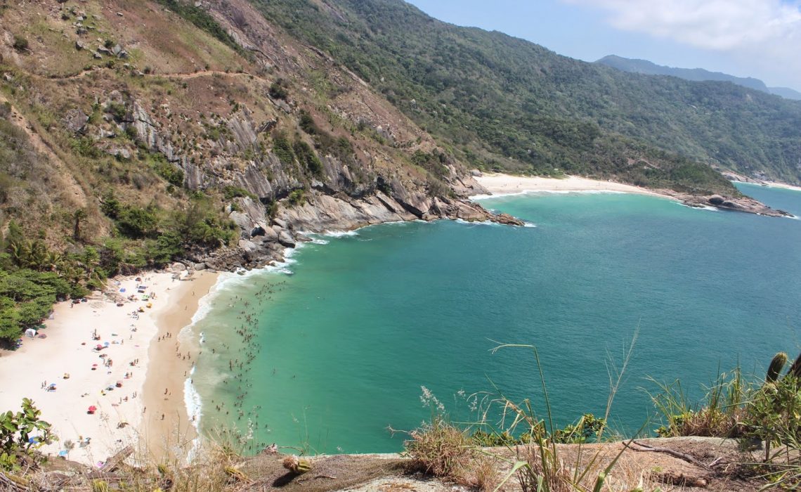
The more experienced ones should definitely do the “Barra de Guaratiba X Grumari” track, the first Transcarioca path for those starting from Zona Oeste. At this 8,8 kilometer trail, it is possible to enjoy Rio’s wildest beaches, like Perigoso, Funda and Inferno. Adventurers taking this path can also check the Pedra da Tartaruga, which offers a panoramic view of these beaches, and the famous Pedra do Telégrafo.
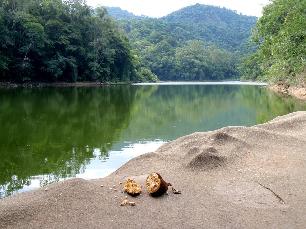
At the Pedra Branca’s State Park, in Zona Oeste, the stretch “Casa Amarela x Pau-da-fome” is worth the challenge for those willing to explore an unknown side of Rio’s nature. The 13,4 kilometers path requires excellent physical conditioning, specially for its very steep ways. Among this track’s highlights are the Açude do Camorim, a large weir situated 435 meters above the sea level, and the Camorim and Véu da Noiva waterfalls.
Lately, eventual robbery incidents have been compromising the safety of the Transcarioca trail. In order to avoid getting in risky situations, make sure to go to hike the trail in groups and not to take valuable items or flashy clothes.
“I have already done some of the Transcarioca paths, like Morro da Urca and Vista Chinesa. It is true I have always done it with a group of locals, which made me feel safer. Still, even though people say the trails are dangerous, I don’t feel it is that bad,” says Vikki Marie, British expat who lives in Rio for two years.
Sоurсе: riotimesonline.com
